
A Cosmic Tusk public resource
See the landscape
in a different light.
Explore America with Michael Davias’s free LiDAR atlas for Google Earth.
Subtle depressions, old drainage channels and the rims of Carolina bays come into view through detailed elevation imagery. Michael has made this remarkable landscape accessible to everyone with an interest in the land.
Download the LiDAR AtlasCreated and maintained by Michael Davias / Cintos
Instructions, usage terms & support Michael’s work ↗
A personal appreciation
An extraordinary gift
to the curious.
My own journey into the subjects explored here at the Tusk began with Carolina bays in the 1990s, long before LiDAR imagery was readily available to curious landscape investigators like me. What we can now see through Michael’s atlas would have been astonishing then.
I have known Michael Davias personally for many years. He is an indefatigable researcher whose contributions to the study of Carolina bays have been invaluable. The sheer amount of work behind this database—and the ingenuity and care required to make it so accessible—deserve recognition and gratitude.
Assembling elevation data, preparing imagery, measuring thousands of Carolina bays and other shallow depressions and maintaining their presentation in Google Earth constitute an enormous undertaking. Michael has devoted sustained effort and personal resources to a tool that benefits people far beyond his own field of inquiry.
One day at Restoration Systems, employees looked over my shoulder, saw Michael’s LiDAR viewer, and began using it themselves.
I was working in the wetland mitigation business. Its use subsequently spread to other resource restoration and environmental permitting companies that needed convenient access to LiDAR. A tool developed for Michael’s research was helping others examine wetlands, plan restoration and investigate landscapes for entirely different purposes.
Anyone interested in archaeological landscapes—including American Indian mounds and earthworks—should find Michael’s data and display intoxicatingly interesting and helpful. Subtle rises, geometric patterns and relationships between landforms can become much easier to recognize in elevation imagery, offering fresh leads for investigation. Such features still require archaeological evidence to establish their origin and significance.
Michael has given us much more than a way to study Carolina bays. He has helped many others pursue their own investigations of the American landscape. That is a contribution worth celebrating—and supporting.
George Howard
The Cosmic Tusk
From a continent to a contour
A new perspective on familiar ground.
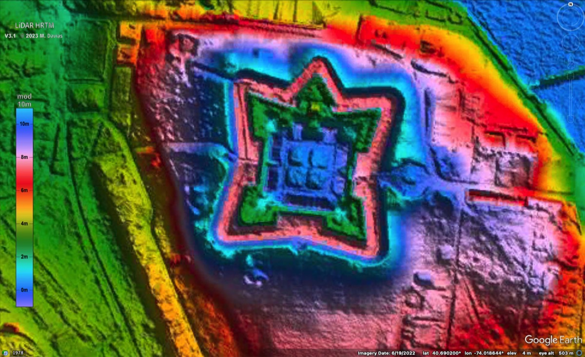
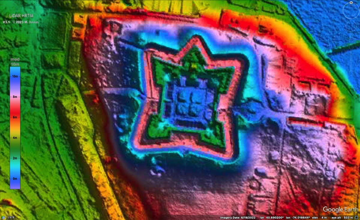
The atlas provides terrain imagery across the 48 contiguous United States, using high-resolution, LiDAR-derived elevation data where available and coarser elevation data elsewhere.
*Dated project figures, not a current census or a claim of uniform LiDAR coverage. Read Michael’s coverage and survey notes ↗
A small download. A vast terrain collection.
The KMZ is a connection file, not the entire imagery archive. Google Earth retrieves imagery from Michael’s hosting as you explore, loading greater detail as you zoom in. Michael incorporates additional elevation datasets as they become available. About the atlas ↗
Start exploring
Choose your view.
LiDAR Atlas
Terrain-focused viewing without Carolina bay survey annotations. Explore a river valley, a wetland, a farm or a place you know by heart.
Download LiDAR Atlas Atlas website & instructions ↗Carolina Bays Survey
Explore Michael’s mapped Carolina bays, fitted outlines and measurements alongside the terrain imagery. Click a surveyed bay’s placemark in Google Earth to see its measurement data. The KMZ connects to records on Michael’s servers; the complete research database is also available separately as an Excel spreadsheet. His broader survey includes High Plains playas and shallow rainwater depressions in Nebraska.
Download Carolina Bays Survey Survey website & research spreadsheet ↗Both buttons download the original .KMZ files directly from Michael’s hosting. The Carolina Bays download is Michael’s officially titled “Ovoid Basin Survey”, which supersedes the older Carolina Bay Survey. Downloading the file does not automatically install or launch Google Earth.
Your first exploration
Start with a place
you already know.
Familiar ground helps you understand the display. You may discover features you have passed many times without recognizing.
Get Google Earth ↗- Open the downloaded KMZ.Use Google Earth Pro on a desktop computer as your starting point.
- Find your landscape.Search for a town, wetland, river valley or Carolina bay.
- Zoom in gradually.Keep the atlas layer enabled and allow the detailed terrain imagery to load.
- Compare the views.Toggle the layer off and on to compare the terrain rendering with Google Earth’s aerial imagery.
A few things worth knowing
How to read the colors and shading
Colors repeat every ten meters of elevation. The same color can appear at different absolute heights. Deliberately exaggerated hillshading makes subtle relief easier to see; apparent shading is not a measurement of actual slope. For precise elevations, engineering or permitting analysis, consult the underlying datasets and their accuracy information.
If the imagery does not look right
Michael recommends turning off Google Earth’s 3D Buildings layer if buildings or trees interfere with the terrain. A fresh loader and clearing cached imagery can help when old tiles or large X symbols appear. Mobile performance can vary. See Michael’s instructions and troubleshooting notes.
What the Carolina bay outlines and measurements tell you
The survey’s Carolina bay outlines are fitted to the landforms in Google Earth. Clicking a placemark opens a description with measurements derived from that fitted outline. These are research interpretations, not a complete, uniformly sampled census. The imagery offers common ground for investigation; the ages and formation processes of Carolina bays require additional evidence. The survey website explains the methods and provides the research spreadsheet.