
A remarkable view of the American landscape: Michael Davias’s LiDAR atlas comes to the Tusk
Explore Michael Davias’s extraordinary terrain atlas and Carolina bay measurements through our new resource page, with direct Google Earth downloads.
The Cosmic Tusk now has a dedicated resource page for Michael Davias’s free LiDAR atlas, with direct downloads for Google Earth, instructions, and an appreciation of the researcher behind it.
Explore the LiDAR atlas and download the Google Earth tools →
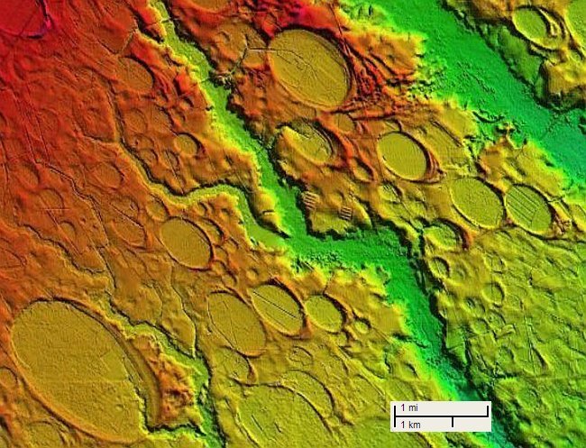
Image: Michael Davias / Cintos. Original image. Original map credits retained; image reproduced without alteration. See the resource page’s attribution and usage notes.
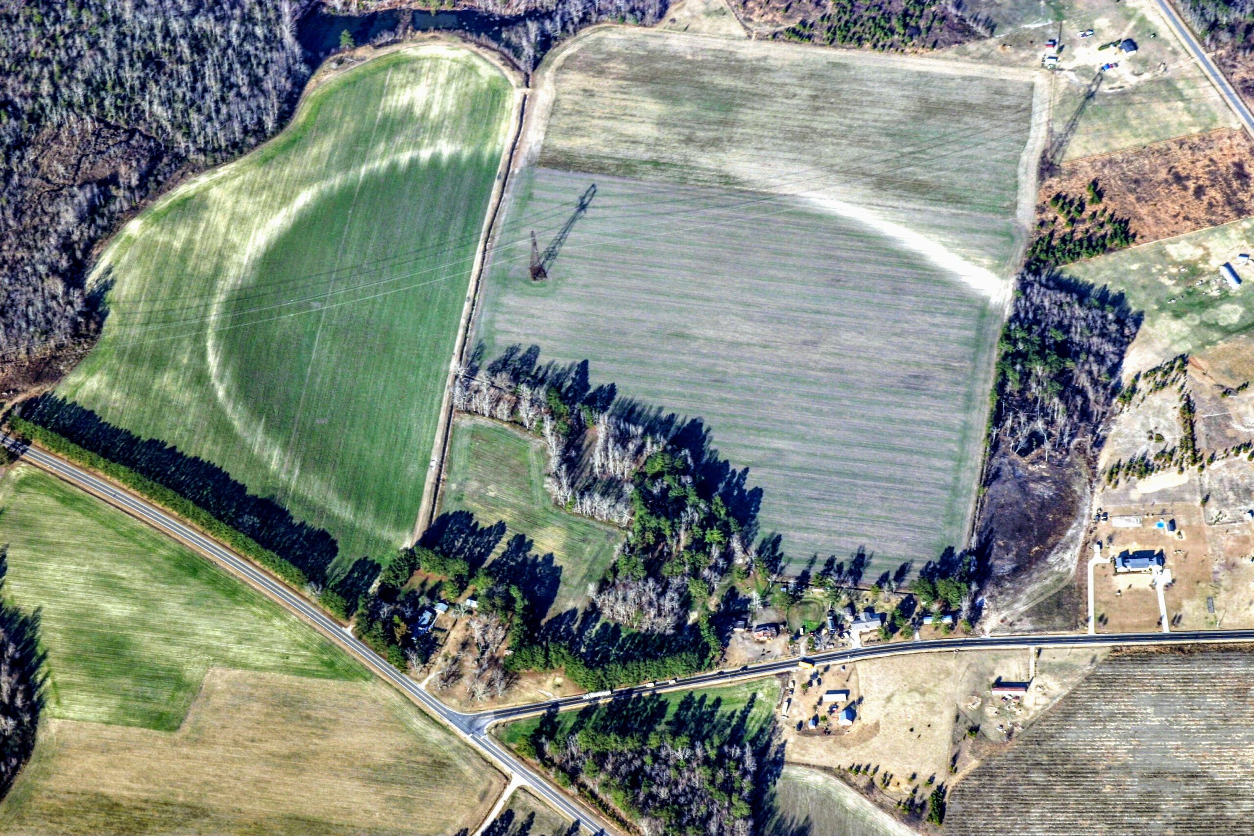
Longtime readers know that some of the most revealing views of the landscape come from looking beyond the familiar aerial photograph. Shallow depressions, old drainage channels and the delicate rims of Carolina bays can become strikingly apparent when the ground is presented through LiDAR-derived elevation imagery.
My own journey into the subjects explored here at the Tusk began with Carolina bays in the 1990s, long before LiDAR imagery was readily available to curious landscape investigators like me. What we can now see through Michael’s atlas would have been astonishing then.
Few people have done more to make that experience accessible than my friend Michael Davias.
I have known Michael personally for many years. He is an indefatigable researcher who has made invaluable contributions to the study of Carolina bays. The extraordinary amount of work behind his database—and the care and ingenuity behind its presentation—deserve a much wider audience.
To help provide one, we have added a dedicated LiDAR resource page to the Cosmic Tusk. You can find it under Resources → Free LiDAR Atlas, or through the link at the bottom of the site.
The page offers two downloads:
- LiDAR Atlas: terrain imagery for general exploration, without Carolina bay survey annotations.
- Carolina Bays Survey: terrain imagery with Michael’s mapped Carolina bays, fitted outlines and measurements. Click a surveyed bay’s placemark in Google Earth to see its measurement data.
The small KMZ files connect Google Earth to Michael’s hosting, loading imagery and survey records as you explore. The complete research database is also available separately as an Excel spreadsheet through his survey website. Michael’s official title for the broader project is “Ovoid Basin Survey”; it also includes High Plains playas and shallow rainwater depressions in Nebraska.
Michael remains the creator and maintainer of these remarkable tools. Our page gives readers a convenient doorway to his work.
His atlas provides terrain imagery across the 48 contiguous United States, with approximately one-meter elevation grids across much of the collection and coarser data elsewhere. Coverage and resolution vary.
But the usefulness of Michael’s work reaches well beyond the study of Carolina bays. I have seen that firsthand.
When I was working in the wetland mitigation business at Restoration Systems, employees looked over my shoulder one day and noticed Michael’s LiDAR viewer. They soon began using it themselves. Its use subsequently spread to other resource restoration and environmental permitting companies that needed convenient access to LiDAR.
A tool Michael developed for his own investigations was helping other people pursue entirely different questions about the American landscape. That is a wonderful consequence of making research accessible.
Anyone interested in archaeological landscapes—including American Indian mounds and earthworks—should find Michael’s data and display intoxicatingly interesting and helpful. Subtle rises, geometric patterns and relationships between landforms can become much easier to recognize in elevation imagery, offering fresh leads for investigation. Such features still require archaeological evidence to establish their origin and significance.
For anyone interested in wetlands, drainage patterns, restoration, geology or simply the shape of familiar ground, I encourage you to give it a try. Start with a place you know. Compare the ordinary aerial view with Michael’s terrain imagery. See what emerges.
And please remember the person who made it possible. Michael has invested enormous effort and personal resources in this work, including the hosting that delivers the imagery. Visit his website, credit his contribution when you use it, and consider supporting its continuation.
Thank you, Michael, for an extraordinary gift to everyone curious about the land beneath our feet.
Visit the Cosmic Tusk LiDAR resource page →
George Howard
The Cosmic Tusk